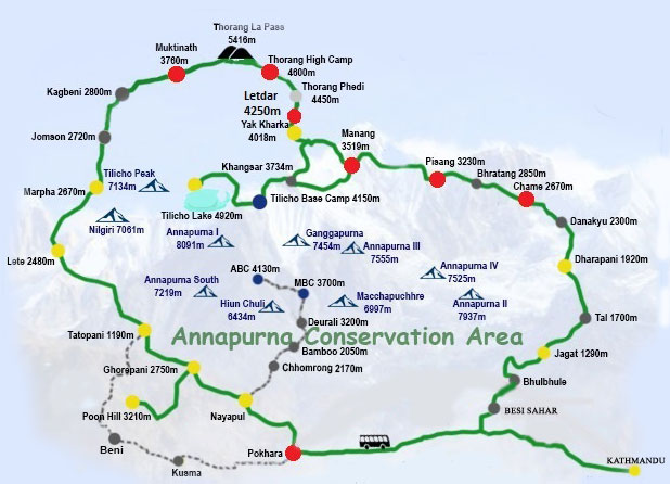
Get the Details Annapurna Round Trekking Map with cost, itinerary, weather, distance starting from Beshishahar to End Point Pokhara via Thorang La Pass (5,416m.)
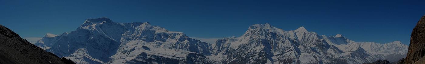
The Annapurna Round also known as Annapurna Circuit is one of the greatest Trekking in Nepal This classic circuit trek is an incredibly varied and extraordinarily beautiful journey. Dramatic deep gorges, bleak high mountain passes, Buddhist temples, picturesque farming villages and all the major mountains of the Annapurna Massif.
To reach the start of the trek, we drive first down the main Pokhara road from Kathmandu and then follow the Marshyangdi River to Besisahar. The trek proper begins here, crossing and re-crossing the gorge carved by the Marshyangdi River on suspension bridges before you reach Manang, the largest village on the route. An acclimatisation day is taken here to prepare for crossing the Thorung La pass which is the highest point of the trek at 5416m. From there you descend progressively with plenty of up and down along the way until you reach Jomsom. Annapurna Round Trekking does ends up with a spectacular mountain flight to Pokhara from Jomsom or following Poon Hill Ghorepani Trekking Trail to Pokhara and then a second flight on or by overland drive to Kathmandu.
For Details Cost, Itinerary, Weather and Distance information, please visit at: https://www.nepaltrekkinginhimalaya.com/activities/trekking-in-nepal/annapurna-trekking