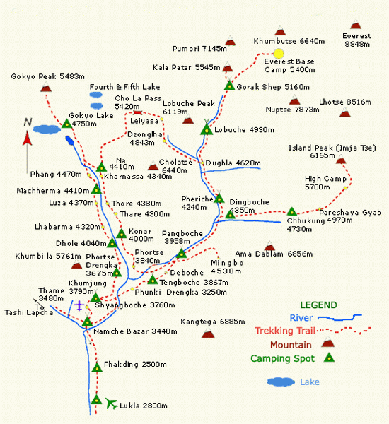
The map to Everest Gokyo Trek outlines the topography of the region. This includes the study of the land surface, terrains and even the prehistory and culture of the region.
You can also expect to know the uniqueness of Gokyo in general at the presence of a map. Through the Everest Gokyo Trek Map, you can foretell the number of days to be spent in the trek.
You’ll thus be able to plan the rest of your schedules and travel itinerary in accordance. By assessing the distance clinched through the map, you’ll have a less stressful experience.
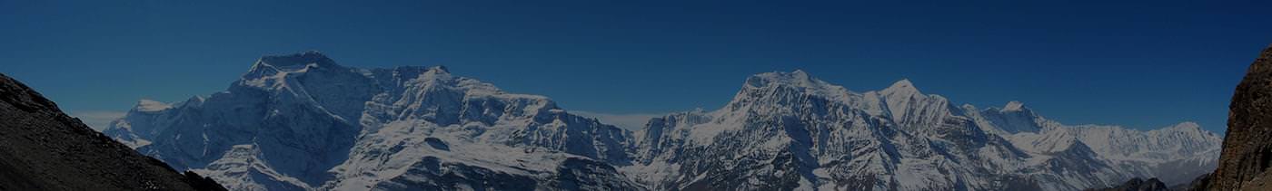
During Everest Gokyo Trekking, you’re expected to discover the Himalayan landforms and their lifestyle.
The culture, of course, will see a major influence of the Sherpa clan. Old monasteries and gompas are evident with monks performing the everyday rituals.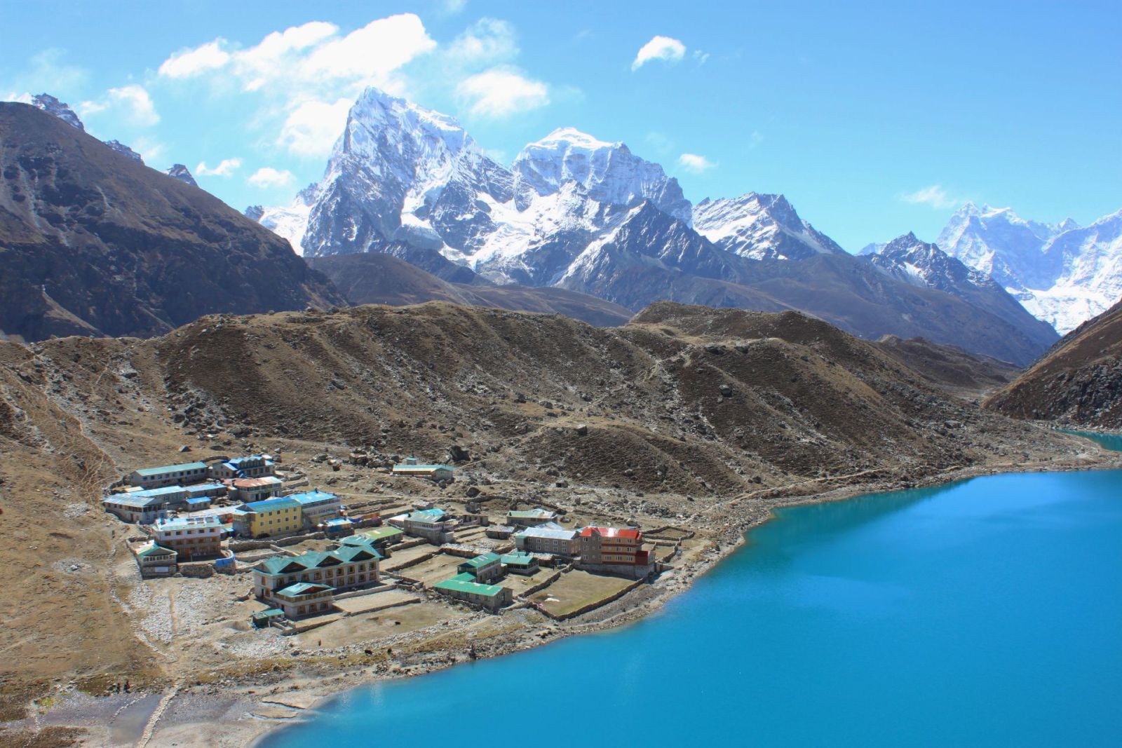 The Beautful view of Gokyo Lake, seen from Lake in Gokyo.
Gokyo Lakes are oligotrophic lakes in Nepal's Sagarmatha National Park, located at an altitude of 4,700–5,000 m above sea level. Lakes and resort were named after Gokyo Ri peak. These lakes are the world's highest freshwater lake system comprising six main lakes, of which Thonak Lake is the largest.